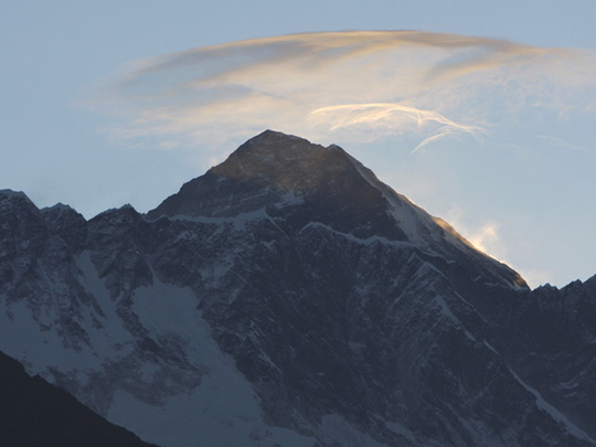
Dubai: One inch. That’s how much Mount Everest, the world’s highest mountain, has shrunk by following the massive earthquake that hit Nepal on April 25. Satellite data from the European Space Agency showed that the mountain subsided, making it about an inch shorter than it was before. The lowering occurred due to a relief of strain in the Earth’s crust.
The devastating quake of April 25, which displaced millions, has led to major topographical changes.
Researchers spotted the changes, including the rise of Nepal’s capital city of Kathmandu by approximately 3ft. The shift was detected by comparing before-and-after radar images using a technique that produces an image called an interferogram. “The altitude of the Kathmandu Valley increased by 80cm as the Indian tectonic plate moved further to the Tibetan plate during the quake,” Madhu Sudan Adhikari, director general of the survey department said on Thursday, according to reports by Xinhua News Agency. In addition to the vertical lift, researchers also found horizontal shifts of up to 7 feet. The satellite data has also been used to help direct relief efforts in areas that have suffered from landslides.
Almost 8,000 people died in the earthquake, the worst to hit Nepal in 80 years.
— The writer is an intern with Gulf News


