Dubai: A newly designed, commuter-friendly map of the public transport network in Dubai is now available, officials said.
The Public Transport Agency of the Roads and Transport Authority (RTA) in Dubai said the map was designed using the Spider Diagram technology that makes it easy for commuters to read and track bus routes. The new map was first released through the RTA’s portals such as www.rta.ae and www.dubai-buses.com.
“The newly designed map was conceived in response to the needs of commuters and to make them happier through availing smooth mobility,” Mohammad Al Ali, Director of Planning and Business Development, RTA’s Public Transport Agency.
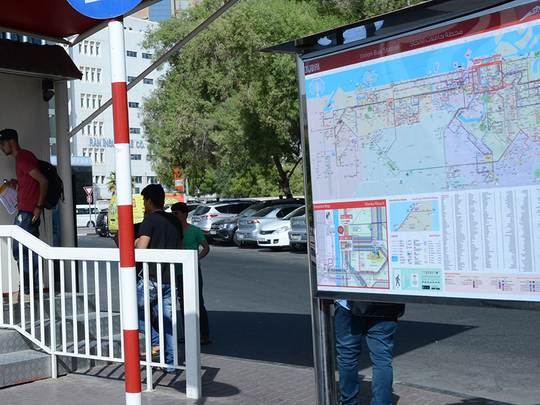
“The new map is characterised by three-dimensional diagrams of key geographical and tourist destinations in Dubai. It contains an optical feature visualising public bus routes where each route has a distinct colour. The map makes it easy to position locations of main bus stations, metro stations [on both the red and green lines] and feeder bus service. It also contains a dedicated list of the names of key districts in Dubai written in Arabic and English.”
The newly designed map has been displayed in all air-conditioned shelters across Dubai as well as main bus stations. Some 100,000 maps have been provided in Dubai International Airport to ease the mobility of visitors, as well as in hotels, malls and tourist hotspots.