Abu Dhabi: The Health Authority Abu Dhabi (HAAD) is now connected to a new portal that will offer instant access to major incidents and crisis situations, including a medical outbreak, a car accident or even a sudden attack.
HAAD is using a Geographical Information System (GIS) effective on Wednesday to help detect the exact location of a medical crisis, and will accordingly help rush the patient to the nearest health care facility, and/or even evacuate the area where the accident took place if needed.
Major government entities across the Emirate of Abu Dhabi, such as the Abu Dhabi Police, and 36 private company's have access to the GIS system known as the Geospatial Data Portal, to ensure smooth and instant communication with the HAAD in case a person's life is at risk.
"If disasters happen, or when lives are at stake, all the necessary medical services have to be immediately coordinated to ensure that the right patient gets to the right health care facility at the right time," Obaid Al Ameri, Head of Operations Centre and Disaster Management at HAAD told Gulf News, adding that an instant medical response will help identify the type of incident and its surrounding risks.
The GIS is a mapping software that provides information on locations for health care facility facilities, road and utility networks, buildings, schools, landmarks and helps identify resources and hazards.
According to the HAAD, the new system will help minimise the emergency response time and ensure health and safety monitoring and tracking, risk analyses, planning, and accuracy in health records across hospitals in the Emirate of Abu Dhabi.
Directions made easy
Emergency and home delivery services will become more efficient in Abu Dhabi thanks to a new system being developed by the Department of Municipal Affairs (DMA) and Abu Dhabi Electronic Systems and Information Centre (ADSIC). Finding an efficient route to a destination in the emirate will also become easier , said a press release issued by the DMA.
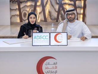
The DMA and ADSIC signed an agreement on Wednesday to establish cooperation and coordination for GIS (Geographical Information Systems) data sharing and exchange.
The MoU creates a framework to support easy availability of municipal GIS data for all government agencies and private organisations.
What do you think of this new portal? How will this help in reducing the number of fatalities? Should this be done in other emirates? Tell us what you think at letter2editor@gulfnews.com


